
- 설명 :
UC Merced는 클래스당 100개의 이미지가 있는 21개의 클래스 토지 사용 원격 감지 이미지 데이터 세트입니다. 이미지는 전국의 다양한 도시 지역에 대한 USGS National Map Urban Area Imagery 컬렉션의 대형 이미지에서 수동으로 추출되었습니다. 이 공개 도메인 이미지의 픽셀 해상도는 0.3m입니다.
대부분의 이미지는 256x256 픽셀이지만 모양이 다른 44개의 이미지가 있습니다.
추가 문서 : 코드가 있는 논문에서 탐색
홈페이지 : http://weegee.vision.ucmerced.edu/datasets/landuse.html
버전 :
-
2.0.0(기본값): 새로운 분할 API( https://tensorflow.org/datasets/splits )
-
다운로드 크기 :
317.07 MiB데이터 세트 크기 :
238.63 MiB자동 캐시 됨( 문서 ):
shuffle_files=False(트레인)인 경우에만분할 :
| 나뉘다 | 예 |
|---|---|
'train' | 2,100 |
- 기능 구조 :
FeaturesDict({
    'filename': Text(shape=(), dtype=string),
    'image': Image(shape=(None, None, 3), dtype=uint8),
    'label': ClassLabel(shape=(), dtype=int64, num_classes=21),
})
- 기능 문서 :
| 특징 | 수업 | 모양 | D타입 | 설명 |
|---|---|---|---|---|
| 풍모Dict | ||||
| 파일 이름 | 텍스트 | 끈 | ||
| 영상 | 영상 | (없음, 없음, 3) | uint8 | |
| 상표 | 클래스 레이블 | int64 |
감독 키 (
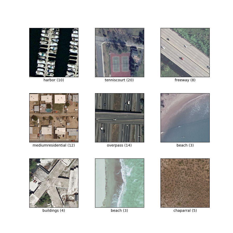
as_supervised문서 참조):('image', 'label')그림 ( tfds.show_examples ):
- 예 ( tfds.as_dataframe ):
- 인용 :
@InProceedings{Nilsback08,
   author = "Yang, Yi and Newsam, Shawn",
   title = "Bag-Of-Visual-Words and Spatial Extensions for Land-Use Classification",
   booktitle = "ACM SIGSPATIAL International Conference on Advances in Geographic Information Systems (ACM GIS)",
   year = "2010",
}